Klausenbergrunde

Hiking

favorite_borderfavorite
play_arrowpause
  • EasyLevel
  • access_time1:30 hDuration
  • arrow_right_alt7,8 kmDistance
  • terrain964 mHighest point
  • trending_up187 mUphill
  • trending_down190 mDownhill
  • Show map
wandern Familie (c) Mathäus Gartner (17).jpg

Tour information

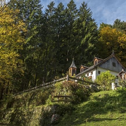
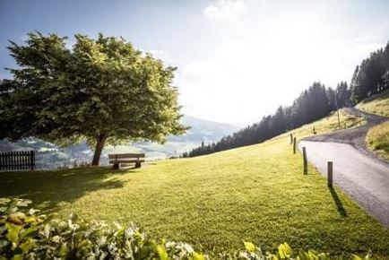
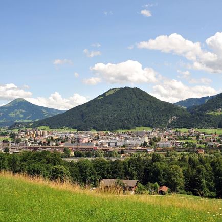
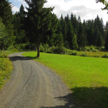
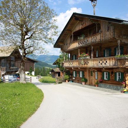
We start at the information office in Kirchberg, cross the village square, walk into Reithergasse and from there over the bridge to arena365 and along the river Ache in the direction of Kitzbühel. In the Klausen district, we turn right towards the Schwedenkapelle chapel. Pass the Schwedenkapelle chapel and take the forest road up the Klausenberg. The ascent continues along a forest path and past the Staudachstube inn. Up to the Gauxerbauer and via the Tannenweg back to the centre of Kirchberg.


Read more

Info

Klausenbergrunde

Features

  • check easy
  • check
  • check
  • asphalt, gravel road, wood path
  • hiking shoes, weather protection, drink, first aid kit
  • Take the B170 from Wörgl or Kitzbühel as far as Kirchberg in Tirol.
  • bus stop Gemeindeamt Kirchberg
    ​railway station Kirchberg in Tirol
  • Parkgarage Pöllmühle

Restaurants & infrastructure

Staudachstub'n

Staudachstub'n
Staudachstub'n
Open todayKirchberg in Tirol
favorite_borderfavorite

Similar

Lindernrunde 5

Lindernrunde 5Easy
Lindernrunde 5access_time2:30 harrow_right_alt7,7 kmfavorite_borderfavorite

Fuchsweg

FuchswegEasy
Fuchswegaccess_time3:00 harrow_right_alt7,6 kmfavorite_borderfavorite