Brixner Dorfrunde

Running

favorite_borderfavorite
play_arrowpause
  • MediumLevel
  • access_time2:00 hDuration
  • arrow_right_alt5,9 kmDistance
  • terrain936 mHighest point
  • trending_up170 mUphill
  • trending_down170 mDownhill
  • Show map
brixnerGangl_höhenweg.jpg

Tour information

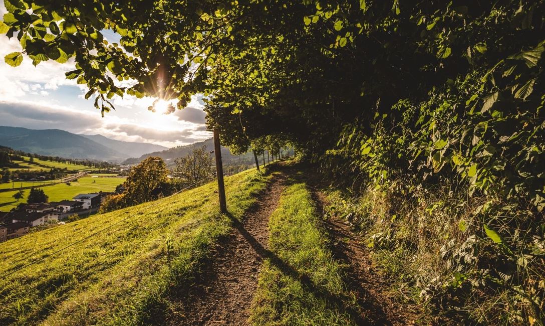
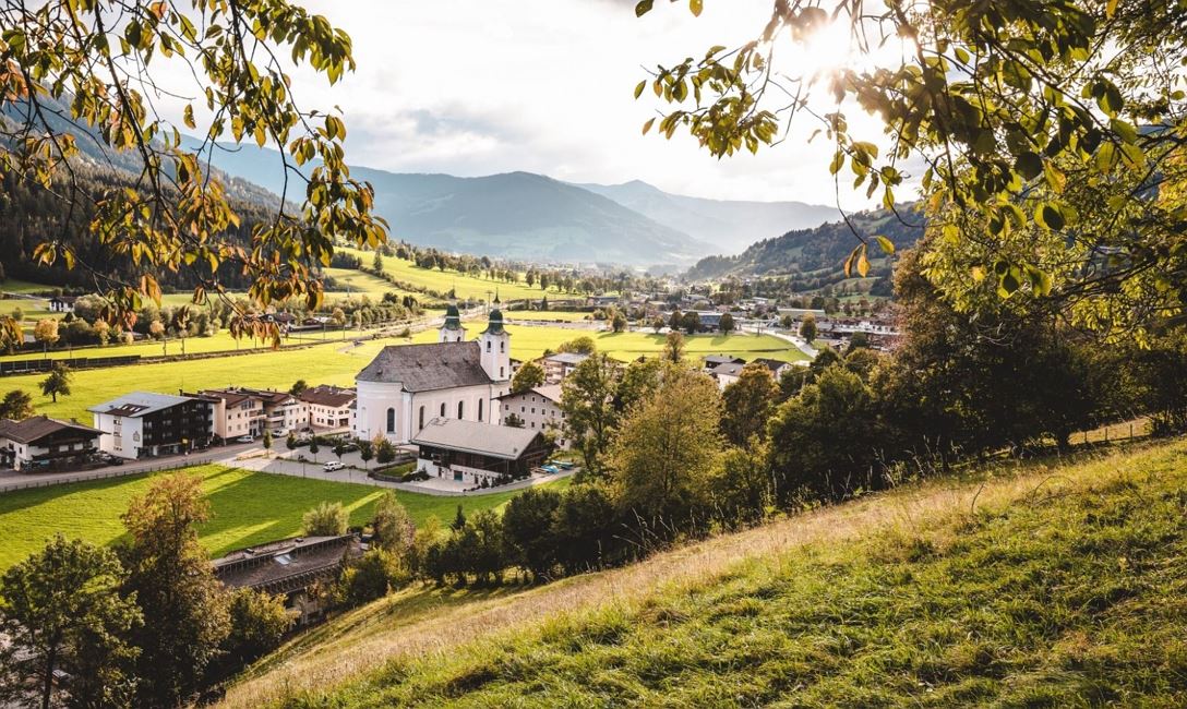
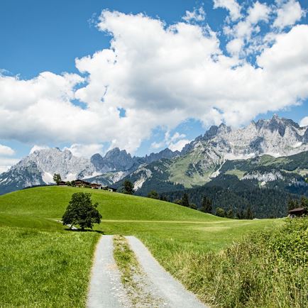
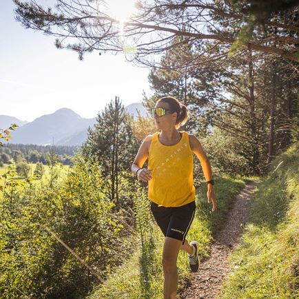
We start our run at the valley station of the Hochbrixen gondola lift. For a short stretch we run along the main road in the direction of Westendorf until we reach the district of Hof. There we turn right and take the Salvenberg mountain road. We follow this uphill until we turn right onto the hiking trail below the Oberkaslach snack station. Now we can put our trail running skills to the test. Above Brixen, we run in hilly terrain with views of the Kitzbüheler Horn over the Brixner Gangl back to our starting point.

Read more

Info

Brixner Dorfrunde

Features

  • check medium difficulty level
  • Trailrunning Outfit
  • Take the B170 from Wörgl or Kitzbühel as far as Brixen im Thale.
  • bus stop Gondelbahn Hochbrixen
    railway station Brixen im Thale
  • Gondelbahn Hochbrixen

Restaurants & infrastructure

Oberkaslach

Oberkaslach
Oberkaslach
Open todayBrixen im Thale
favorite_borderfavorite

Similar

Aschaurunde

AschaurundeMedium
Aschaurundeaccess_time3:00 harrow_right_alt7,7 kmfavorite_borderfavorite